Ladawan:Palau location map.svg

Orihinal na file (SVG na file, nominal na 520 × 709 (na) pixel, pakadakula: 30 KB)
Sumaryo
| Pagladawan |
Deutsch: Positionskarte von Palau
Quadratische Plattkarte. Geographische Begrenzung der Karte:
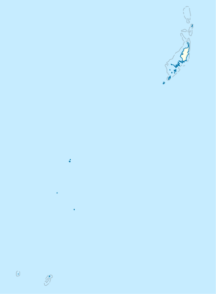
English: Location map of Palau
Equirectangular projection. Geographic limits of the map:
|
|
| Petsa | ||
| Pinagkunan |
Sadiring gibo, using
|
|
| Kagsurat | NordNordWest | |
| Pagtugot (Giraray na paggamit sa file) |
This file is licensed under the Creative Commons Attribution-Share Alike 3.0 Germany license.
 This file is licensed under the Creative Commons Attribution-Share Alike 3.0 Germany license.
|
|
| Other versions |
|


_location_map.svg)

|
This map has been made or improved in the German Kartenwerkstatt (Map Lab). You can propose maps to improve as well.
|
Kasaysayan kan file
Pinduton an sarong petsa/oras para mahiling ng file sa puntong idto.
| Petsa/Oras | Thumbnail | Sukol | Paragamit | Komento | |
|---|---|---|---|---|---|
| presente | 16:02, 14 Nobyembre 2009 | | 520 × 709 (30 KB) | NordNordWest | == {{int:filedesc}} == {{Information |Description= {{de|Positionskarte von Palau}} Quadratische Plattkarte. Geographische Begrenzung der Karte: * N: 8.6° N * S: 2.6° N * W: 130.8° O * O: 135.2° O {{en|Location map of Palau} |
Paggamit sa file
Ginagamit kan minasunod na 3 (na) pahina an file na ini:
Pankinaban na paggamit sa file
Ginagamit kan mga minasunod na wiki an file na ini:
- Paggamit sa af.wikipedia.org
- Paggamit sa an.wikipedia.org
- Paggamit sa ar.wikipedia.org
- Paggamit sa ast.wikipedia.org
- Paggamit sa az.wikipedia.org
- Paggamit sa be-tarask.wikipedia.org
- Paggamit sa be.wikipedia.org
- Paggamit sa bg.wikipedia.org
- Paggamit sa bn.wikipedia.org
- Paggamit sa bs.wikipedia.org
- Paggamit sa ceb.wikipedia.org
Hilingon an kadagdagan na pankinaban na paggamit sa file na ini.