Ladawan:Map of the Special Geographic Area (Bangsamoro).svg

Size of this PNG preview of this SVG file: 173 × 153 na pixel. Ibang mga resolusyon: 271 × 240 na pixel | 543 × 480 na pixel | 868 × 768 na pixel | 1,158 × 1,024 na pixel | 2,316 × 2,048 na pixel.
Orihinal na file (SVG na file, nominal na 173 × 153 (na) pixel, pakadakula: 6.89 MB)
.svg)
Sumaryo
| Pagladawan |
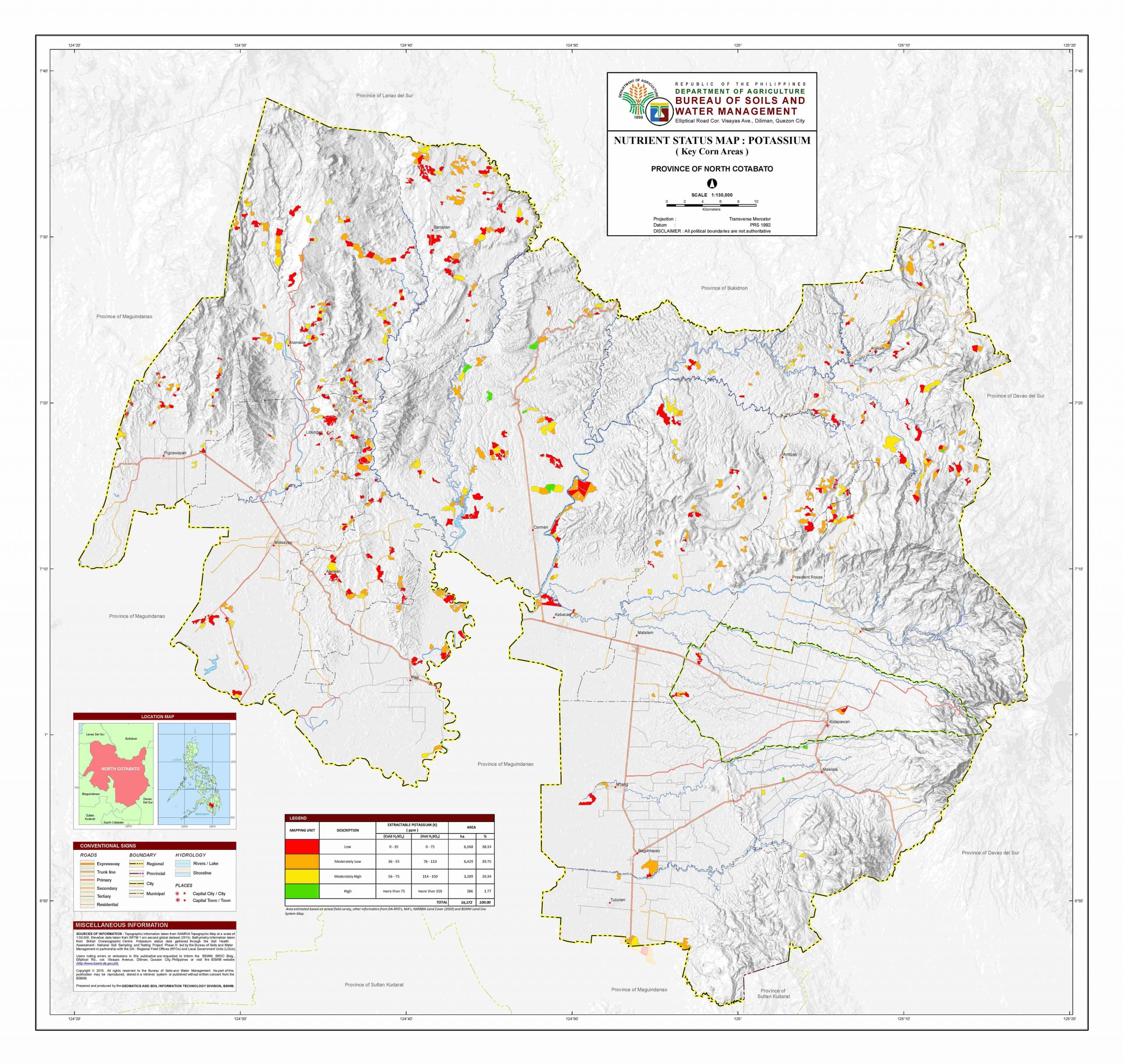
English: Map of the Special Geographic Area of Bangsamoro in Cotabato province. |
| Petsa | |
| Pinagkunan |
|
| Kagsurat | Sadiring gibo based on Hellerick's File:Philippines location map (square).svg |
.svg)
Paglisensya
- From NAMRIA and Bangsamoro Parliament Bills maps
| This work is in the public domain in the Philippines and possibly other jurisdictions because it is a work created by an officer or employee of the Government of the Philippines or any of its subdivisions and instrumentalities, including government-owned and/or controlled corporations, as part of their regularly prescribed official duties; consequently, any work is ineligible for copyright under the terms of Part IV, Chapter I, Section 171.11 and Part IV, Chapter IV, Section 176 of Republic Act No. 8293 and Republic Act No. 10372, as amended, unless otherwise noted. However, in some instances, the use of this work in the Philippines or elsewhere may be regulated by this law or other laws.
|

|
- As a derivative work
Nakalisensya an file na ini sa irarom kan lisensyang Creative Commons Attribution-Share Alike 3.0 Unported.
Atribusyon: Hellerick and Hariboneagle927
- Talingkas mo ining:
- maihiras – makokopya, maipapanao, asin maipapahiling an gibo
- i-remix – ma-adapt an gibo
- Sa irarom kan mga kondisyon na ini:
- atribusyon – Dapat mong i-credit, itao an link kan lisensya, at itukdo kun may binago ini. Pwede mo ining gibuhon sa dawa anong rasonableng paagi, pero bako sa paaging ineendorso ka o an paggamit mo kan naglisensya.
- share alike – Kun ire-remix mo, babaguhon, o madagdag sa materyal, kaipuhan mong ipanao an mga ambag mo sa irarom kan parehas o katulad na lisensya.
Kasaysayan kan file
Pinduton an sarong petsa/oras para mahiling ng file sa puntong idto.
| Petsa/Oras | Thumbnail | Sukol | Paragamit | Komento | |
|---|---|---|---|---|---|
| presente | 11:26, 11 Marso 2023 | | 173 × 153 (6.89 MB) | Hariboneagle927 | Bgy. Dunguan |
| 14:33, 5 Marso 2023 |  | 173 × 153 (6.89 MB) | Hariboneagle927 | missiing municipality | |
| 14:12, 5 Marso 2023 |  | 173 × 153 (6.89 MB) | Hariboneagle927 | Uploaded a work by {{own work}} based on {{U|Hellerick}}'s File:Philippines location map (square).svg from ;NAMRIA Topographical Map / Bureau of Soils and Water Management *[http://bswm.da.gov.ph/wp-content/uploads/north-cotabato-k-corn-ConvertImage-scaled.jpg North Cotabato Map] ;Bangsamoro Parliament Bill: *[https://parliament.bangsamoro.gov.ph/wp-content/uploads/2022/12/Bill-No.-130-Government-of-the-day-AN-ACT-CREATING-THE-MUNICIPALITY-OF-K... |
.svg)
Paggamit sa file
Ginagamit kan minasunod na pahina an file na ini:
Pankinaban na paggamit sa file
Ginagamit kan mga minasunod na wiki an file na ini:
- Paggamit sa en.wikipedia.org
.svg)