Ladawan:ID Geelvinkbaai.PNG
Mayo na nin mas malinaw.
ID_Geelvinkbaai.PNG (670 × 561 na pixel, pakadakula: 21 KB, tipo nin MIME: image/png)

|
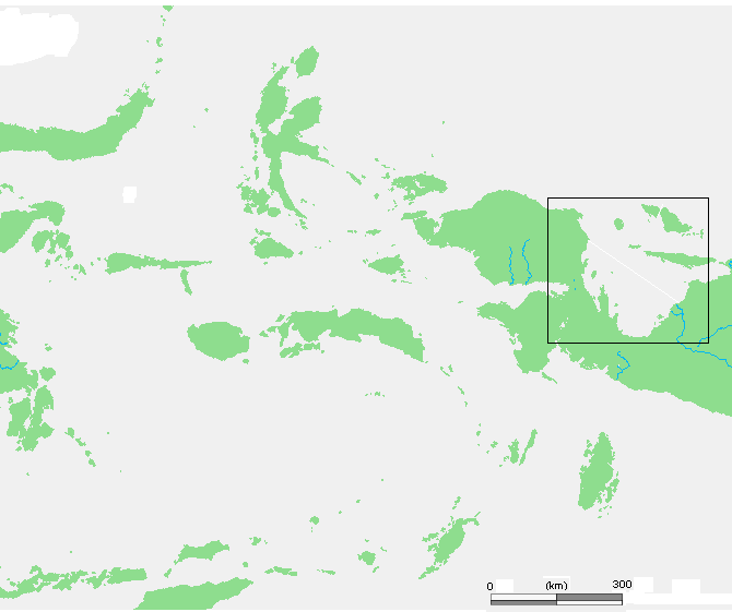
This locator map image could be re-created using vector graphics as an SVG file. This has several advantages; see Commons:Media for cleanup for more information. If an SVG form of this image is available, please upload it and afterwards replace this template with
{{vector version available|new image name}}.
It is recommended to name the SVG file “ID Geelvinkbaai.svg”—then the template Vector version available (or Vva) does not need the new image name parameter. |
| Pagladawan | ID Geelvinkbaai.PNG | ||||
| Pinagkunan | own work based on PD map | ||||
| Kagsurat | edited by M.Minderhoud | ||||
| Pagtugot (Giraray na paggamit sa file) |
|
Kasaysayan kan file
Pinduton an sarong petsa/oras para mahiling ng file sa puntong idto.
| Petsa/Oras | Thumbnail | Sukol | Paragamit | Komento | |
|---|---|---|---|---|---|
| presente | 23:43, 15 Hulyo 2006 | | 670 × 561 (21 KB) | Michiel1972 | {{Information |Description= {{subst:PAGENAME}} |Source= own work based on PD map |Date= |Author= edited by M.Minderhoud |Permission= {{PD-Demis}} |other_versions= }} category:Locator maps of islands in Indonesia |
Paggamit sa file
Ginagamit kan minasunod na pahina an file na ini:
Pankinaban na paggamit sa file
Ginagamit kan mga minasunod na wiki an file na ini:
- Paggamit sa de.wikipedia.org
- Paggamit sa en.wikipedia.org
- Paggamit sa eo.wikipedia.org
- Paggamit sa es.wikipedia.org
- Paggamit sa fa.wikipedia.org
- Paggamit sa fr.wikipedia.org
- Paggamit sa hi.wikipedia.org
- Paggamit sa id.wikipedia.org
- Paggamit sa ilo.wikipedia.org
- Paggamit sa ja.wikipedia.org
- Paggamit sa ko.wikipedia.org
- Paggamit sa mrj.wikipedia.org
- Paggamit sa nl.wikipedia.org
- Paggamit sa pl.wikipedia.org
- Paggamit sa pt.wikipedia.org
- Paggamit sa ru.wikipedia.org
- Paggamit sa vi.wikipedia.org
- Paggamit sa zh.wikipedia.org