Ladawan:Bahrain adm location map.svg

Size of this PNG preview of this SVG file: 413 × 599 na pixel. Ibang mga resolusyon: 165 × 240 na pixel | 331 × 480 na pixel | 529 × 768 na pixel | 706 × 1,024 na pixel | 1,411 × 2,048 na pixel | 1,246 × 1,808 na pixel.
Orihinal na file (SVG na file, nominal na 1,246 × 1,808 (na) pixel, pakadakula: 326 KB)
Sumaryo
| Pagladawan |
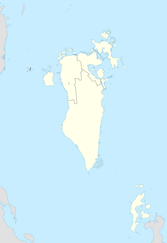
Deutsch: Positionskarte von Bahrain
English: Location map of Bahrain
|
||||||||||||
| Petsa | |||||||||||||
| Pinagkunan |
Own work using: |
||||||||||||
| Kagsurat | NordNordWest and OpenStreetMap contributors | ||||||||||||
| SVG genesis | This map was created with Adobe Illustrator.
|
||||||||||||

Paglisensya
This file is licensed under the Creative Commons Attribution-Share Alike 2.0 Generic license.
- Talingkas mo ining:
- maihiras – makokopya, maipapanao, asin maipapahiling an gibo
- i-remix – ma-adapt an gibo
- Sa irarom kan mga kondisyon na ini:
- atribusyon – Dapat mong i-credit, itao an link kan lisensya, at itukdo kun may binago ini. Pwede mo ining gibuhon sa dawa anong rasonableng paagi, pero bako sa paaging ineendorso ka o an paggamit mo kan naglisensya.
- share alike – Kun ire-remix mo, babaguhon, o madagdag sa materyal, kaipuhan mong ipanao an mga ambag mo sa irarom kan parehas o katulad na lisensya.
Kasaysayan kan file
Pinduton an sarong petsa/oras para mahiling ng file sa puntong idto.
| Petsa/Oras | Thumbnail | Sukol | Paragamit | Komento | |
|---|---|---|---|---|---|
| presente | 23:08, 20 Pebrero 2015 | | 1,246 × 1,808 (326 KB) | NordNordWest | upd |
| 14:37, 13 Nobyembre 2014 |  | 1,246 × 1,607 (134 KB) | NordNordWest | == {{int:filedesc}} == {{Information |Description= {{de|1=Positionskarte von Bahrain}} {{en|1=Location map of Bahrain}} {{Location map series N |stretching= |top=26.6 |bottom=16.5 |left=51.8 |right=60.1 }} |Source={{Own using}} * [http:www.openstreetma... |
Paggamit sa file
Ginagamit kan minasunod na pahina an file na ini:
Pankinaban na paggamit sa file
Ginagamit kan mga minasunod na wiki an file na ini:
- Paggamit sa an.wikipedia.org
- Paggamit sa ar.wikipedia.org
- كأس الخليج العربي 1
- جدة (جزيرة)
- جزيرة النبيه صالح
- بلاد القديم
- قالب:خريطة مواقع البحرين
- الدوري البحريني الممتاز 2010–11
- جزيرة أم النعسان
- الدوري البحريني الممتاز 2009–10
- الدوري البحريني الممتاز 2011–12
- الدوري البحريني الممتاز 2012–13
- الدوري البحريني الممتاز 2013–14
- جزيرة البحرين
- جزيرة أم الصبان
- جسر الملك حمد
- الدوري البحريني الممتاز 2015–16
- الدوري البحريني الممتاز 2016–17
- تفجير قرية الدراز 2017
- جزيرة الدار
- الدوري البحريني الممتاز 2021-22
- الدوري البحريني الممتاز 2020-21
- الدوري البحريني الممتاز 2022-23
- الدوري البحريني الممتاز 2023-24
- Paggamit sa ast.wikipedia.org
- Paggamit sa azb.wikipedia.org
- Paggamit sa az.wikipedia.org
Hilingon an kadagdagan na pankinaban na paggamit sa file na ini.