Ladawan:Map of region of Calabria, Italy.svg

Size of this PNG preview of this SVG file: 288 × 522 na pixel. Ibang mga resolusyon: 132 × 240 na pixel | 265 × 480 na pixel | 423 × 768 na pixel | 565 × 1,024 na pixel | 1,130 × 2,048 na pixel.
Orihinal na file (SVG na file, nominal na 288 × 522 (na) pixel, pakadakula: 91 KB)
Sumaryo
| Pagladawan | |
| Petsa | |
| Pinagkunan | Sadiring gibo |
| Kagsurat | Vonvikken |
| Other versions |
    |
This W3C-unspecified vector image was created with Inkscape .
W3C-validity not checked.
Paglisensya
| I, the copyright holder of this work, release this work into the public domain. This applies worldwide. In some countries this may not be legally possible; if so: I grant anyone the right to use this work for any purpose, without any conditions, unless such conditions are required by law. |
Kasaysayan kan file
Pinduton an sarong petsa/oras para mahiling ng file sa puntong idto.
| Petsa/Oras | Thumbnail | Sukol | Paragamit | Komento | |
|---|---|---|---|---|---|
| presente | 13:45, 22 Hulyo 2010 | | 288 × 522 (91 KB) | Vonvikken | Added province boundaries. |
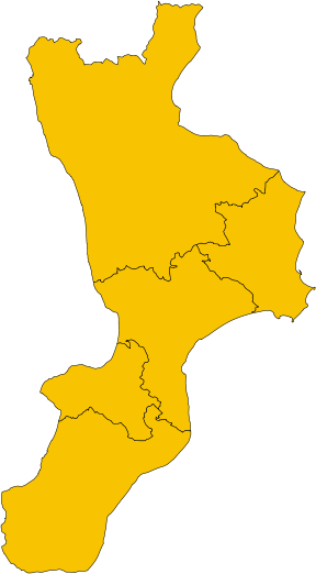
| 19:42, 8 Hunyo 2010 |  | 288 × 522 (45 KB) | Vonvikken | == {{int:filedesc}} == {{Information |Description={{de|1=Karte von Region Kalabrien, Italien}} {{en|1=Map of the region of Calabria, Italy}} {{it|1=Mappa della regione Calabria, Italia}} |Source={{own}} |Author=Vonvikken |Date=2010-06-0 |
Paggamit sa file
Mayong pahinang naggagamit sa file na ini.